Where to Find your Amelia County Ancestors - Names of Families in Old Wills and Estates
How Genealogy Websites Save You Tons of Money!
Indexes to Wills, Inventories and Accounts
- 1734 to 1761
- 1761 to 1771
- 1771 to 1780
- 1780 to 1786
Vital Records
- Births 1853 to 1871
- Deaths 1853 to 1871
- Marriages (taken from Gates County, North Carolina Marriage Bonds)
- Marriage Bonds 1735 to 1834
- Marriage Index 1853 to 1918
- Marriages from Fee Books 1747-1749
Military
- Certificate of Allegiance (Revolutionary War)
- Muster Rolls 1861 to 1865
Images of Amelia County Wills 1734-1761
Images of Amelia County Wills 1734-1761
Images of Wills and Estates 1771 to 1780
Names not provided due to lack of space.
Images of Wills and Estates 1780 to 1786
Names not provided due to lack of space.
Miscellaneous Will and Estates (Transcripts)
- Booker, Edward, Sr., LWT
- Clarke, Richard, LWT
- Collicott, Wiliam, LWT dated 1765 (Will Bk 2, 1771-1780)
- Goode, Philip, LWT (transcript)
- Hutcherson, Charles, LWT, 1768 (digital image)
- Hutcheson, William, LWT, 1792 (digital image)
- Moor, John, LWT
- Neill, Roger, LWT
- Ogleby, Richard, LWT
- Penix, William, LWT
- Scott, Joseph, Estate, Inventory
- Steagall, John, LWT dated 1769 (digital image)
- Stone, William, Estate, Inventory
- Tucker, Robert, LWT
- Warick, Edward, Estate
Watson, William, LWT
Traced genealogies and family histories of Amelia County are available to Members: Jordan family
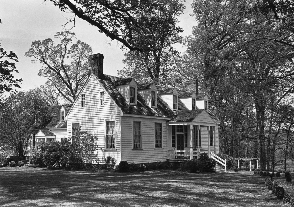
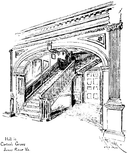
The Colonial Homestead
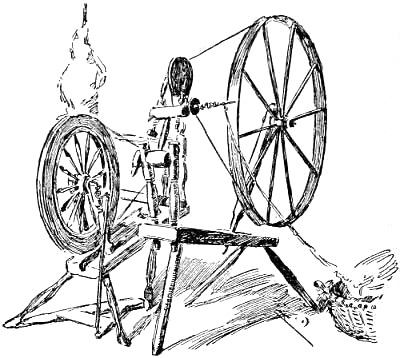
Colonists Manufactured the Necessities
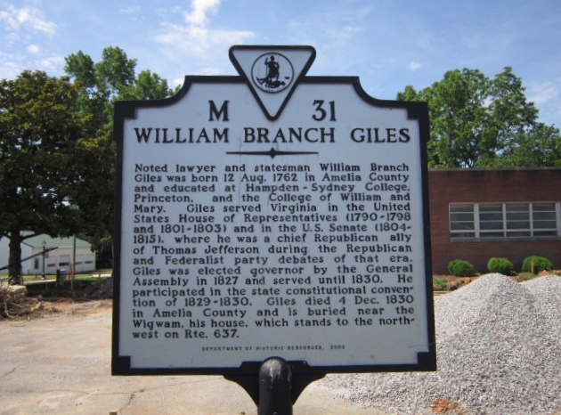
Wigwam Plantation of Chula, Virginia
Why Tracking the Old Home Place is Essential to Finding the Past
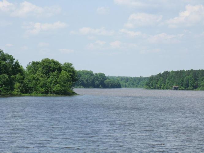
It is essential for the genealogist to locate the exact spot of the old home place, if possible. Generally speaking, the early settlers located along river beds, such as the Nottoway River in Virginia. This may sound difficult, but not if one focuses on the adjoining farms and the names of the neighbors, then do what is called a ” title search” at the courthouse. That is to say, trace a certain property back to the first owner (or land grant), and then forward it to later owners. What this does is identify the original tract of land which contained vague descriptions to more detailed data, such as local streams, ponds, types of forest land, and names in the neighborhood. It also locates some interesting situations, such as deeds of gift when the owner transfers title to his children or otherkin. A comparison in the tax digests and old last wills and testaments where land bequests were granted, will help confirm the data. John Ellis owned 600 acres in Amelia County, which lands adjoined Hardaway Wade, Finney, and Samuel Smith.
Part of this land bordered the corner of Hampton Wade near the Jacks branch. Also, there were 138 acres of land on both sides of the Nottoway River, which included the mill. This description of the location of the plantation was written by John Ellis and incorporated into his last will and testament in 1762. The genealogist can usually achieve some success in finding the home place simply by reviewing the tax digests and observing adjoining neighbors and waterways. The earliest deeds (if they survived) were quite vague in the use of chains and measures. Another popular marker was slashed upon certain trees, creeks, forests, and the like. Also, a visit to the site is quite beneficial and rewarding in locating old churches, communities, and cemeteries, especially if one takes a county map that contains a legend.